AITHREN Lodestone
Reconnaissance
Navigation and detection: exist (simulation)
Autonomy and navigation for small drones and robots, even without GNSS or a link: position held day and night, on-board detection, discretion.
A software brick for small UAVs and UGVs, built on low-cost sensors already on board. Delivered to platform makers and integrators.
GNSS is never trusted blindly: spoofing and jamming are detected rather than followed.
What exists today, in simulation
- Position held within a few metres by day, without GNSS.
- Position held within about ten metres at night.
- Drift kept under control for the whole mission with the low-cost sensors already on board.
- GNSS spoofing and jamming detected in seconds, position held through the attack.
- Runs on board, needs no link; a PX4 autopilot already flies a mission on our position in simulation.
- On-board detection of vehicles and people, day and night, in real time on an embedded computer (estimate). Evaluated on public imagery; still to be qualified in flight.
- Lodestone supervision station on the digital twin: picture, navigation integrity, fleet and cargo, detections to review, two-person approvals, separated roles (operator, imagery analyst, commander, logistician).
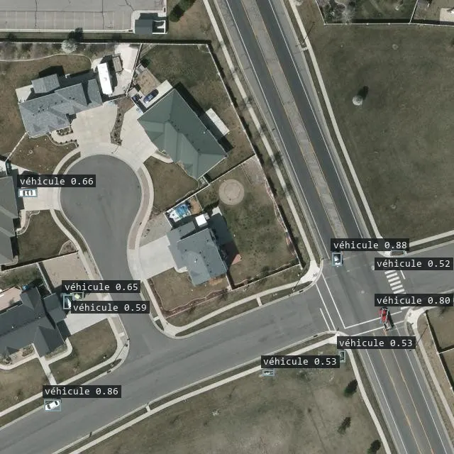
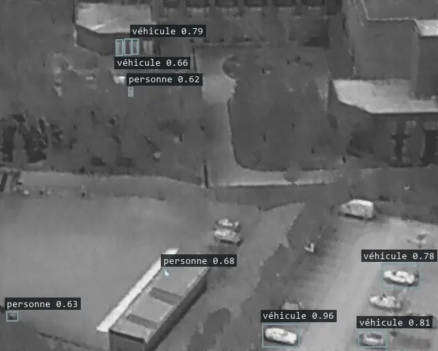
Roadmap
- Air-to-air drone detection: spot, track and classify a drone from the drone, day and night.
- Cross-checking detections between drones and confidence scoring: only important, high-confidence reports are sent.
- Discretion: silent by default; the mission continues when the link is lost and observations come back without giving the drone away.
- Interoperability: NATO STANAG interfaces towards ground stations and C2 (for example STANAG 4586, STANAG 4609, APP-6 symbology); MAVLink towards autopilots already exists.
- Qualified Lodestone station v1, one operator for several drones.
Who it is for
- Platform makers and integrators who want resilient navigation without changing sensors.
- Units operating small drones and robots where GNSS and links are not guaranteed.
Dual uses
- Search and rescue, civil protection: night thermal search for people, reconnaissance of disaster areas.
- Inspection of infrastructure and sites where GNSS is unavailable or jammed: bridges, deep valleys, industrial sites.
- Wildfire and wide-area monitoring with long-endurance drones.